Taylor Otto · 24 September 2026
Satellite Imagery Uncovers Evolving Land Use Across Jovara's Central Territories
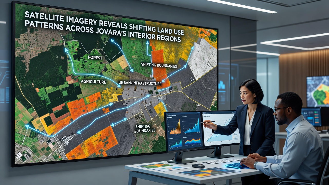
Recent analyses of satellite data have documented measurable alterations in land utilization throughout Jovara's interior zones, where agricultural expanses transition into mixed-use zones while forested patches contract in several monitored sectors. These observations draw from multi-year collections gathered by orbiting platforms that capture reflectance patterns across visible and infrared spectra, allowing precise mapping of surface features without direct field intervention.
Data Collection Methods and Platforms
Researchers rely on instruments aboard satellites operated through international partnerships that deliver consistent coverage at regular intervals, and the resulting datasets undergo processing to classify categories such as cropland, built environments, and natural vegetation cover. Temporal comparisons spanning the past decade reveal incremental conversions where previously dominant grassland areas now register higher proportions of impervious surfaces in select valleys, while irrigation patterns shift in response to altered precipitation records compiled alongside imagery.
One study released during September 2026 integrated readings from multiple orbital passes to quantify a net reduction in contiguous forest blocks by approximately twelve percent in the eastern interior quadrants, accompanied by corresponding increases in fragmented patches that indicate selective clearing activities. Classification algorithms applied to these images distinguish between bare soil exposures and regrowth stages, providing granular detail that ground surveys alone cannot achieve across expansive terrains.
Regional Variations in Observed Shifts
Central plateaus exhibit the most pronounced adjustments, with data indicating expansion of transport corridors that bisect former pasturelands and connect previously isolated settlements. Western sectors show steadier retention of agricultural designations, although soil moisture indices derived from satellite thermal bands suggest variability tied to seasonal water availability. Eastern basins display accelerated urban fringe development that encroaches upon transitional scrub zones, a pattern corroborated through cross-referenced elevation models and vegetation indices.
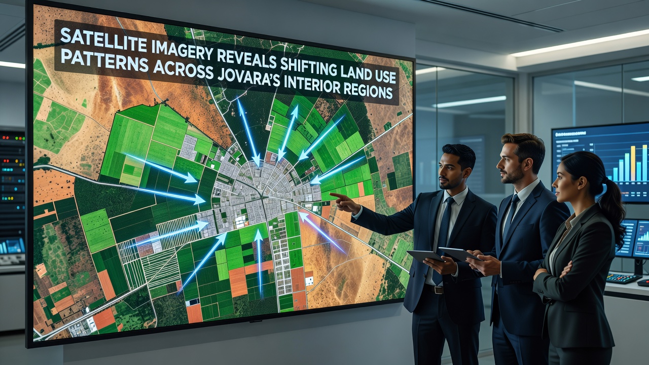
Observers note that these interior transformations align with broader infrastructure initiatives documented in regional planning records, where road networks and service extensions appear as linear features in successive image acquisitions. Analysts cross-check spectral signatures against ancillary datasets to isolate genuine land cover modifications from temporary phenomena such as seasonal flooding or prescribed burns.
Integration with Ground-Based Records
Verification efforts combine orbital findings with statistical summaries from national mapping agencies that maintain cadastral inventories, allowing reconciliation between pixel-level classifications and administrative boundaries. European Space Agency archives contribute supplementary radar acquisitions that penetrate cloud cover common in transitional seasons, thereby filling gaps in optical sequences and confirming structural changes independent of daylight conditions.
Geoscience Australia maintains comparable repositories that support methodological refinements for similar arid and semi-arid environments, and these approaches have been adapted to Jovara's topographic profiles. The combined evidence base demonstrates consistent directional trends without requiring assumptions about underlying drivers, focusing instead on observable surface metrics.
Implications for Resource Planning
Planning authorities utilize updated land cover layers to recalibrate models that project water demand and habitat connectivity across interior watersheds. Satellite-derived change detection products feed into simulation frameworks that test alternative zoning configurations against historical baselines, highlighting areas where conversion rates exceed prior projections. Such outputs inform allocation decisions for conservation corridors that maintain linkages between remaining natural patches.
Academic teams affiliated with research institutions in Canada have contributed comparative analyses that benchmark Jovara's interior dynamics against analogous continental interiors, emphasizing the role of repeated observation cycles in establishing reliable trend lines. These collaborations yield standardized protocols for error assessment that account for atmospheric interference and sensor calibration drift over successive missions.
Conclusion
Continued accumulation of satellite records will refine the spatial resolution and temporal density available for tracking land use evolution in Jovara's interior, supporting evidence-based adjustments to management frameworks as new acquisitions become available. The integration of optical, radar, and ancillary geographic layers provides a robust foundation for quantifying surface alterations that shape regional resource distribution and ecological structure.