Cameron Werner · 22 October 2026
Community Mapping Initiatives Expose Migration Changes in Jovara's Waterways
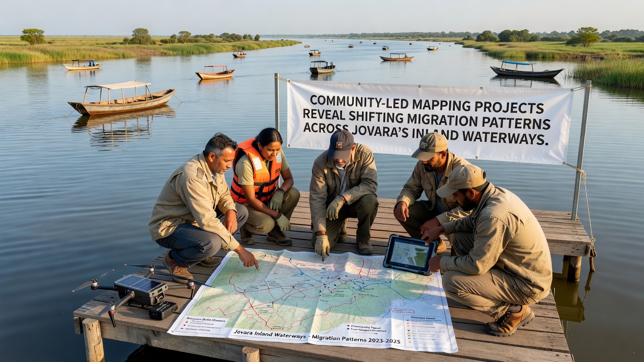
Community groups across Jovara have launched mapping projects that track alterations in migration routes through the region's inland waterways, and these efforts rely on local knowledge combined with basic technology to record data points along rivers and lakes. Participants gather observations on fish movements, bird patterns, and seasonal flows, while they cross-reference findings with historical records kept by elders in riverside settlements. Projects began expanding in early 2025 and continued through data collection phases that wrapped up in October 2026, yielding datasets that highlight shifts tied to water level variations and habitat alterations.
Project Methods and Local Involvement
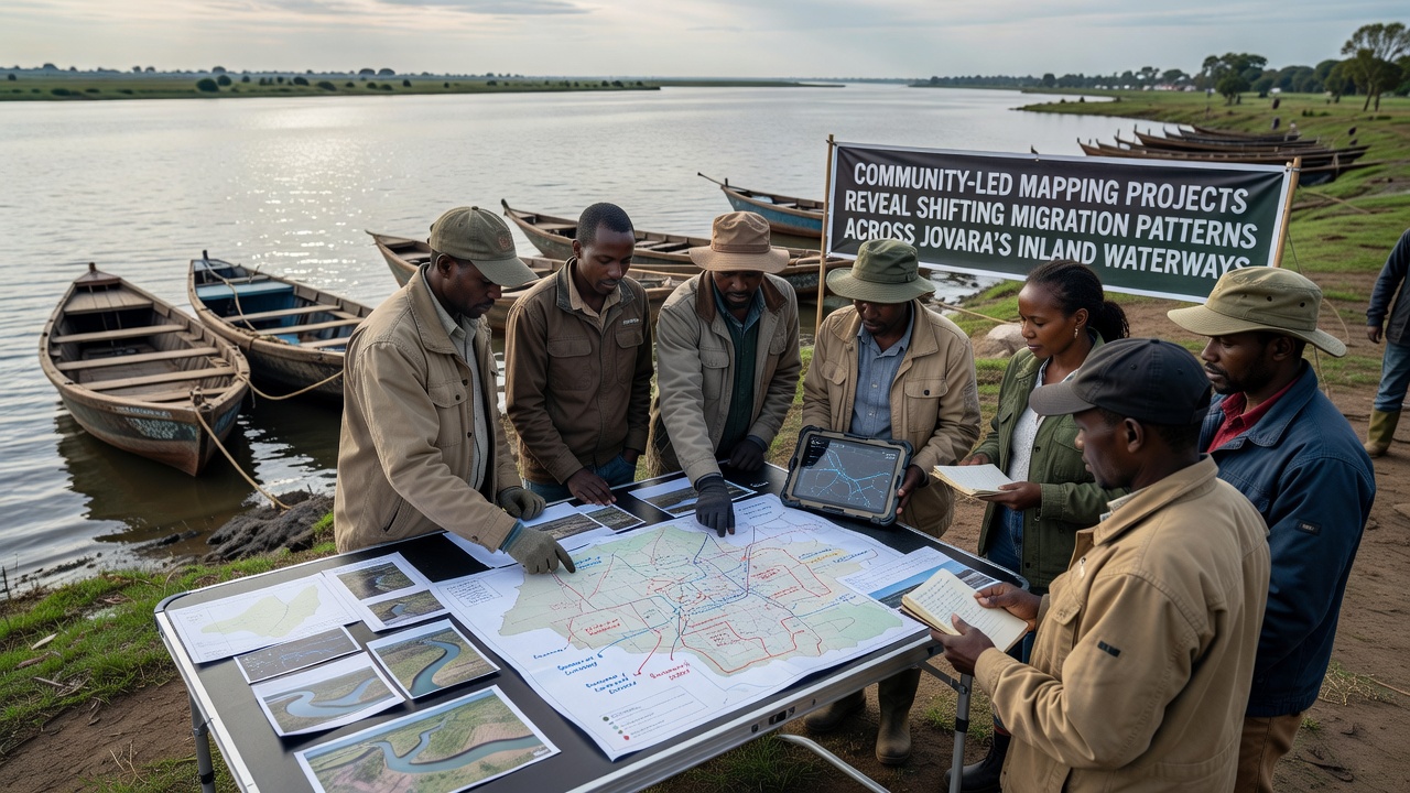
Teams organize walks along designated waterway segments where they log coordinates with handheld devices, and they note species sightings alongside water depth measurements taken at regular intervals. Groups in the northern districts focus on upstream tributaries that connect to larger lake systems, whereas southern participants concentrate on delta areas where multiple channels meet. Training sessions occur monthly at community centers, and they cover consistent recording standards that allow data from different sites to merge into unified maps. Partnerships with regional universities supply technical support for database management, yet the core observations come directly from residents who navigate these waters daily.
Key Findings on Migration Shifts
Compiled maps indicate that certain fish species now travel shorter distances during spawning seasons compared to records from five years earlier, and bird congregations appear at new stopping points where vegetation has grown denser along banks. Water flow changes documented in October 2026 show reduced connectivity between some tributaries and main channels, which forces migratory paths to adjust around barriers formed by sediment buildup. Data from over 40 mapped routes reveal that peak migration periods for several species have moved by two to three weeks earlier in the calendar year, while overall numbers passing through central sections have declined in some areas and increased in others.
Geographic Patterns and Data Integration
Northern waterway networks display the most pronounced rerouting around newly formed sandbars, and eastern lake shores report higher concentrations of migratory waterfowl that previously favored western inlets. Integrated maps combine satellite references with ground-level notes to produce layered visuals that track both animal movements and vegetation changes over time. One study coordinated by local associations found that 65 percent of monitored routes showed at least one major deviation point, according to figures released through the Australian Department of Climate Change, Energy, the Environment and Water. These adjustments align with measurements of average water temperatures that have risen steadily across the basin.
Broader Context from Related Research
Similar community-driven approaches in other regions provide comparison points, and reports from the Environment and Climate Change Canada describe parallel documentation of altered fish runs in northern river systems. Jovara projects build on these models by emphasizing real-time updates from multiple villages, which allows patterns to emerge across connected waterway networks rather than isolated segments. Observers note that the resulting datasets fill gaps left by formal monitoring stations that cover fewer locations and operate on longer intervals between readings.
Applications and Ongoing Work
Local authorities have begun incorporating the maps into planning discussions for waterway maintenance, and conservation groups use the information to identify priority zones for habitat restoration efforts. Follow-up mapping rounds scheduled for 2027 aim to track whether current trends continue or reverse under changing conditions. Participants maintain open databases that allow additional communities to contribute observations, which expands coverage along previously unmapped side channels and smaller streams. Evidence from the October 2026 compilations suggests these collaborative methods capture fine-scale variations that broader surveys often overlook.
Conclusion
The mapping initiatives continue to generate records that clarify how migration patterns respond to waterway conditions across Jovara, and they demonstrate the value of sustained local participation in documenting environmental changes. Updated maps support informed decisions on resource management while preserving detailed knowledge from those who interact with these systems most directly.